

You can add GIS markup elements only into the GIS map. Add  GIS map shape first to your model before you use GIS markup elements.
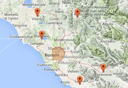
Use the following markup elements to configure locations on the GIS map:
 GIS Point — use GIS point to define a city, a shop, or any other point location on the map.
 GIS Route — use GIS route to draw routes, roads, and railway tracks, on the map.
 GIS Region — use GIS region when you need to define a polygonal area on the map.
Together connected GIS markup elements compose a GIS network.
 Route Provider — In case you have several types of agents that use different types of roads (cars, trains, bicycles, people), you need to add Route provider element in your model to enable some agents to use not the default road network specified in the GIS map, but some other road network.
-
How can we improve this article?
-